Santop Technologies provides Advanced Solutions in Geospatial, Survey & Mapping, Civil Engineering Products, Services & Consultancy Projects.
Contact Us
Santop Technologies is established by professionals with over 20 years industry well experience who have worked with some of the World’s top Geospatial company.With achieved vast experience offers advanced high precision products and project services in the field and Survey Equipment manufacturing organizations.
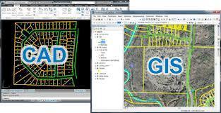
Santop Technologies with their vast experience, offers advanced high precision products and project services in the field of Surveying, Geospatial, GIS, Marine, Mining and Civil Engineering Technologies.
Santop Technologies is an empanelled service provider with government agencies like the Andhra Pradesh’s Department of Mines & Geology, Department of Panchayat Raj & Rural Development among others for doing DGPS Surveys and submission of Data as per their guidelines.
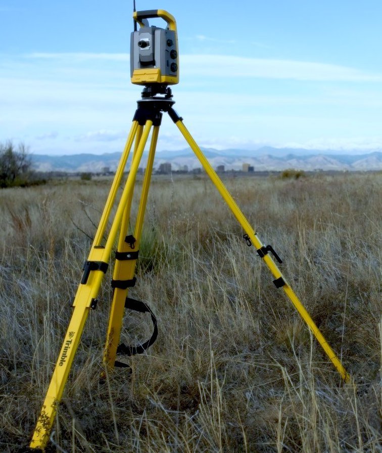
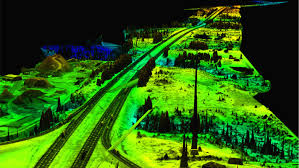
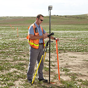
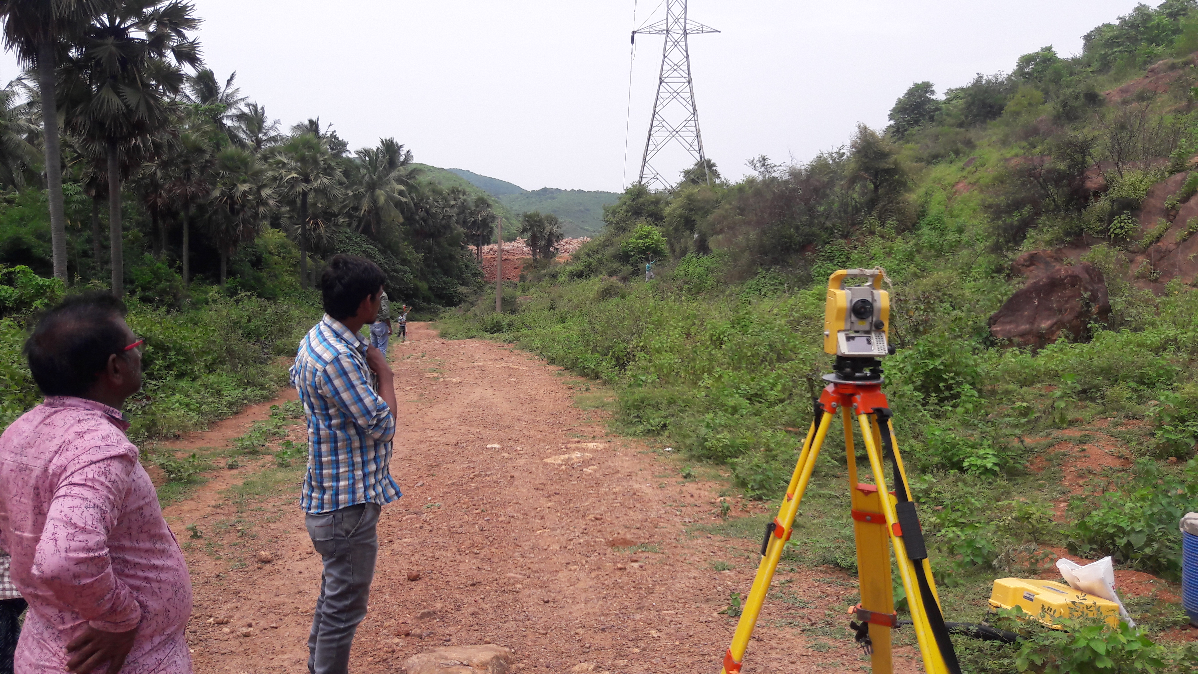
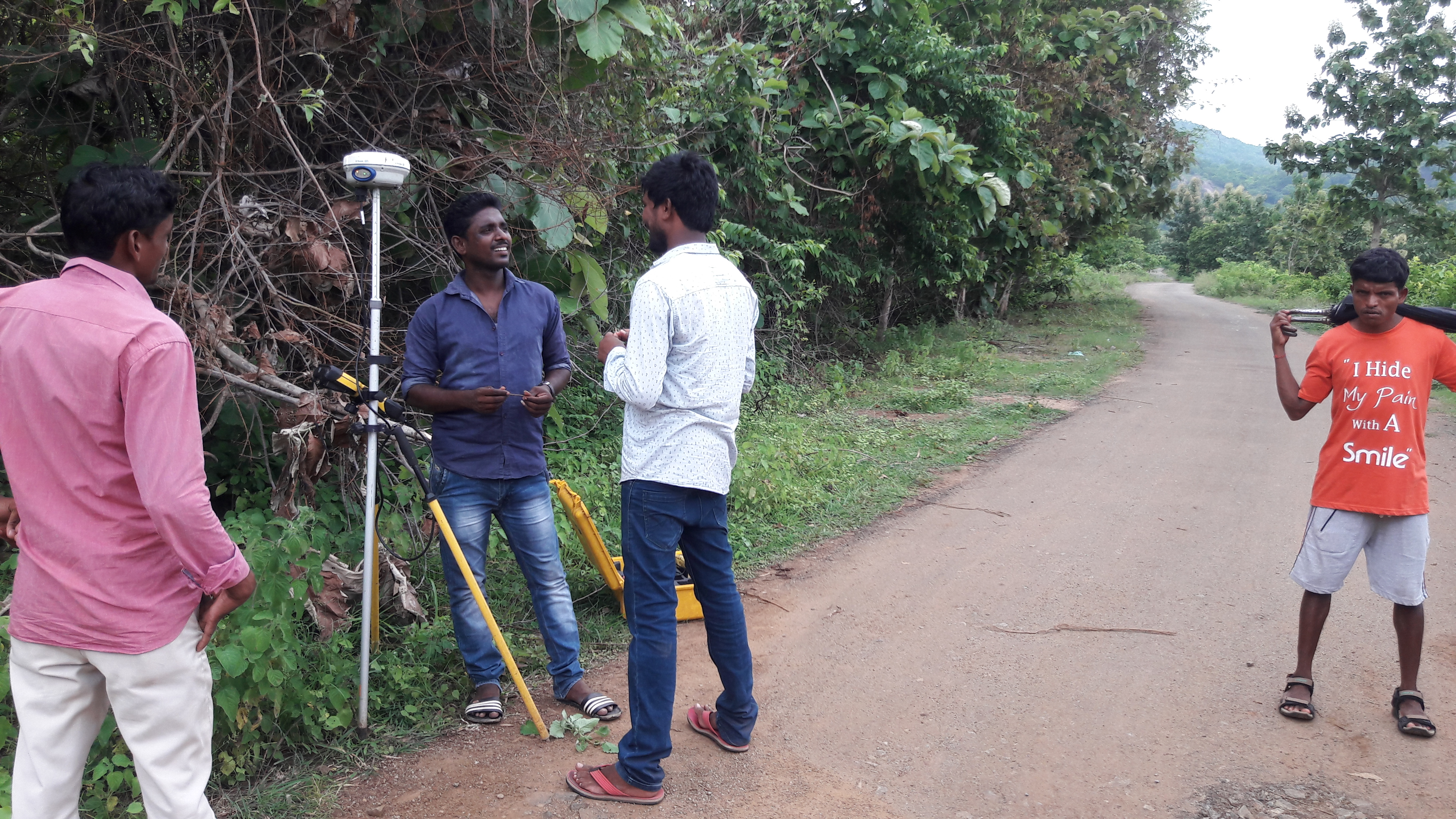
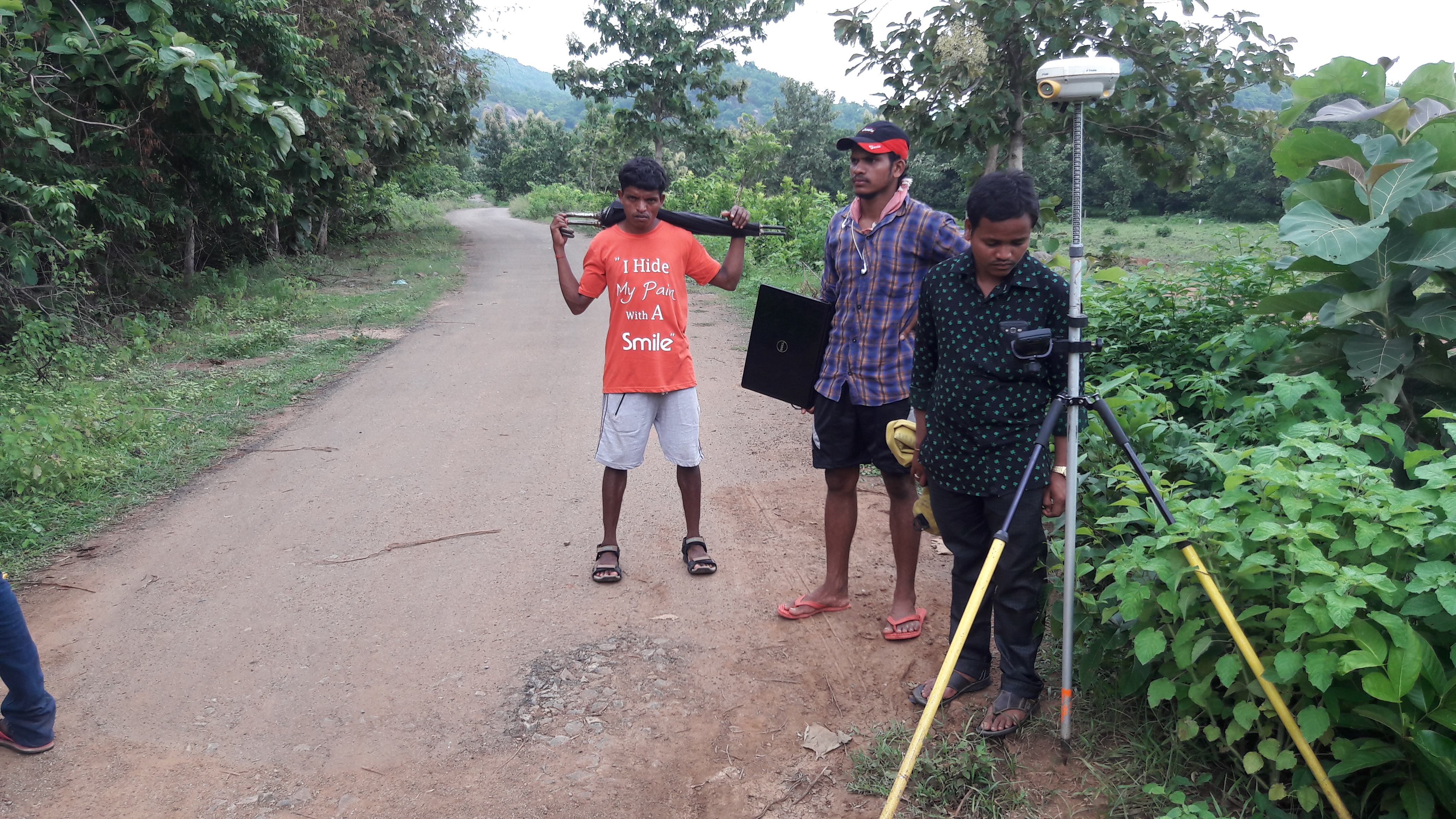
We are multi-brand Dealers of Geospatial Products like DGPS, Total Stations, Auto/Digital Level Recorder, Handheld GPS, Lidar 3D Scanners, Drones, etc., from reputed manufactures
We provide pre and post sales & services for a range of most Geospatial Products like DGPS, Total Stations, Auto/Digital Level Recorder, Handheld GPS, Lidar 3D Scanners, Drones, etc.
We are multi-brand Dealers of Civil Engineering Products like Concrete and Compression Testing Machines (CTM), Geotechnical products, etc.
We provide pre and post sales & services for a range of Civil Engineering products and and testing machines.